
Ecological status and restoration of the Bamochi creek (Arroyo Bamochi). ECG/CIAD/BF/2024.
Resumen
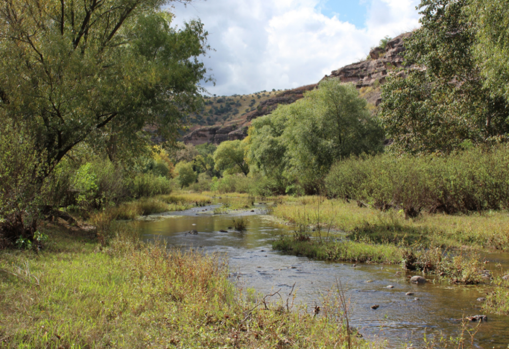
The Arroyo Bamochi is an intermittent creek that runs through open areas in the upper part, then runs in an enclosed canyon in the middle part, and that opens downriver. It originates in the mountains of Aribabi and descends toward the Upper Bavispe River which joins north of the town of Huachinera with a length of about 26 km, with a decline from 1419 m to 1046 m roughly about 373 meters. The creek’s middle part water is maintained from at least three perennial springs, which waters come out at around 24°C and are of volcanic origin. In general, the middle part is a small ‘wadable’ perennial waterway. Before 2015 the creek was lush with a high biodiversity of trees and herbaceous strata, but after El Niño event of 2014-2016, which brought heavy rains to the area, the high-water flow that ran down through the basin brought down many large trees in areas were the canyon is more closed, also ripping the area from ancient topsoil. That effects, together with the increase of cattle (cows) in the area by ranchers due to the subsequent drought started to significantly degrade the aquatic and herbaceous plants of the riverbank, in the watershed area in the upper and middle parts of the Creek, which affected the river ecosystem through high erosion and tree coverage loss. The lower part, being an open area with adjacent agricultural lands, was affected in a different way, by the depositing of the tree debris and soil added there which modified the river landscape.
In process [En proceso]
Colaboración:
Biophilia Foundation-CIAD/Laboratorio de Ecofisiología
